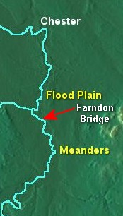
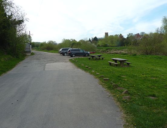
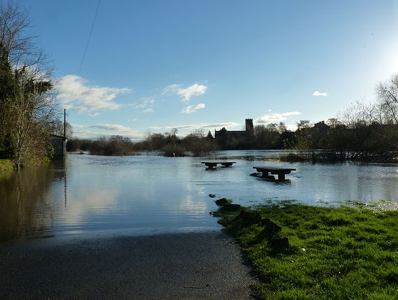
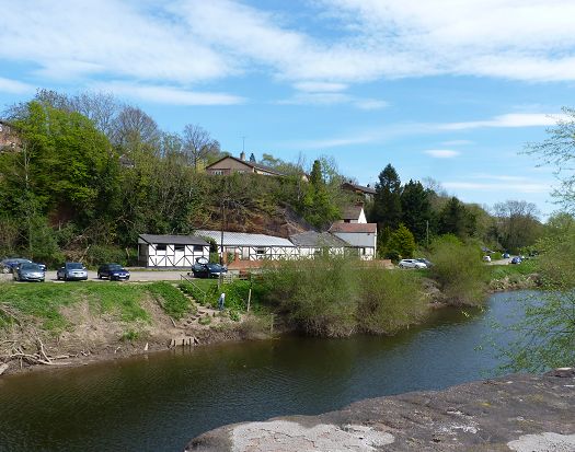
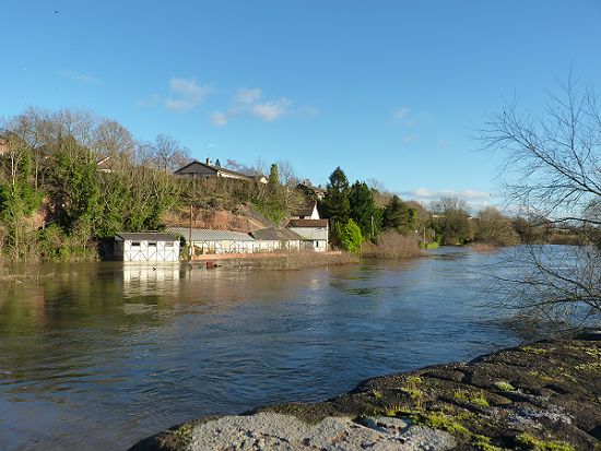
| Flood Plain |
| MORE INFORMATION |
|
|
|
|
||||||||||||||||||||||||||||||
|
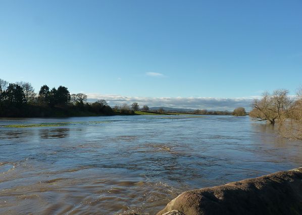
Aerial view of flooding at Farndon (by Super1TV Productions)
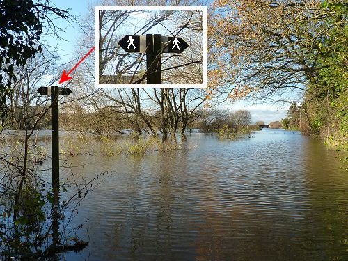
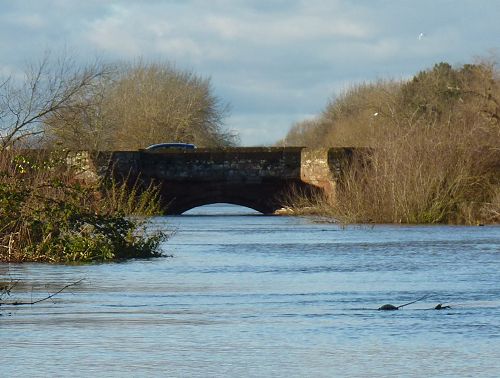
Click the picture below to see emergency services in action during the flooding of December 2015 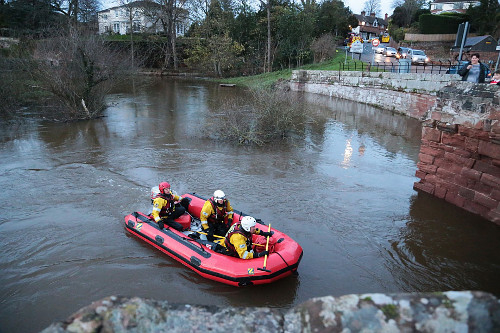 Storm Christoph (January 2021) The highest flood levels seen on the Dee in many years occurred during Storm Christoph in January 2021. The bridge between Farndon and Holt was closed for several days, with the road flooded on the Holt side. The bridge at nearby Aldford was damaged and a man rescued from his car, which had been washed into the flooded Aldford Brook, a tributary of the Dee. |
||||||||||||||||||||||||||||||
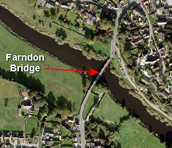
| Where
does all the flood water come from?
Heavy rain on the Welsh hills drains into the River Dee, filling it to overflowing - look at the river in flood in the video below, filmed at Llangollen in Wales, further upstream. |
||||||||||||||||||||||||||||||